Ynys Bery
Ynys Bery est une île du pays de Galles située dans le Pembrokeshire, au sud-ouest de l'Ynys Cantwr.
| Ynys Bery | ||

| ||
| Géographie | ||
|---|---|---|
| Pays | ||
| Archipel | Îles Britanniques | |
| Localisation | Mer Celtique | |
| Coordonnées | 51° 50′ 57″ N, 5° 20′ 09″ O | |
| Point culminant | 71 m | |
| Administration | ||
| Nation constitutive | ||
| Démographie | ||
| Population | Aucun habitant | |
| Autres informations | ||
| Fuseau horaire | UTC±00:00 | |
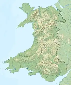
| Géolocalisation sur la carte : pays de Galles
| ||
| Îles au Royaume-Uni | ||
Histoire
En 1903, le S.S. Graffoe, un bateau à vapeur de 2 996 tonnes reliant Glasgow à Buenos Aires avec du charbon, heurte l'île de Ramsey et coule à l'extrémité nord d'Ynys Bery ; il se trouve à une profondeur de 15 m.
Notes et références
- (en) David Mills, The History and Antiquities of Saint David's, Pickering, Parker and Petheram, 1852, p. 17 (extrait en ligne).
Voir aussi
Bibliographie
- John Henry Ingram, The Islands of England : A Survey of the Islands Around England and Wales, and the Channel Islands, Batsford, 1952.
- Richard Deacon, Islands of England and Wales, Osprey Publishing, 1974. (ISBN 0850451663)
- Julian Holland, Exploring the Islands of England and Wales : Including the Channel Islands and the Isle of Man, Frances Lincoln Limited, 2007. (ISBN 0711227438)
Articles connexes
Liens externes
- (en) « Ynys Bery » sur le site Hill Bagging – Database of British and Irish Hills
.svg.png.webp) Portail du pays de Galles
Portail du pays de Galles  Portail du monde insulaire
Cet article est issu de Wikipedia. Le texte est sous licence Creative Commons – Attribution – Partage à l’identique. Des conditions supplémentaires peuvent s’appliquer aux fichiers multimédias.