Windhaag bei Freistadt
Windhaag bei Freistadt est une commune autrichienne du district de Freistadt en Haute-Autriche.
| Windhaag bei Freistadt | ||||
 Héraldique |
||||

| ||||
| Administration | ||||
|---|---|---|---|---|
| Pays | ||||
| Land | ||||
| District (Bezirk) |
District de Freistadt | |||
| Code postal | A- | |||
| Indicatif | 43+ | |||
| Démographie | ||||
| Population | 1 579 hab. ([1]) | |||
| Densité | 37 hab./km2 | |||
| Géographie | ||||
| Coordonnées | 48° 35′ 10″ nord, 14° 33′ 50″ est | |||
| Altitude | 723 m |
|||
| Superficie | 4 290 ha = 42,9 km2 | |||
| Localisation | ||||
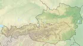
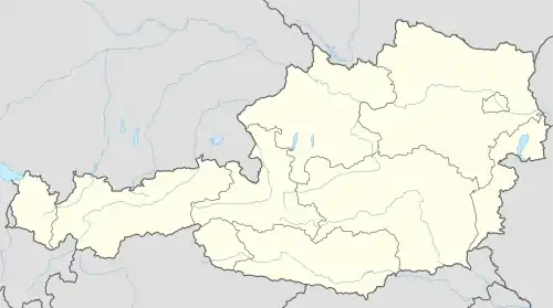
| Géolocalisation sur la carte : Autriche
Géolocalisation sur la carte : Autriche
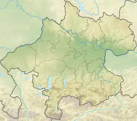
Géolocalisation sur la carte : Haute-Autriche
| ||||
Géographie
La commune est située sur la ligne de partage des eaux continentales entre l'Elbe et le Danube.

Sculpture cinétique de 1999, mise en mouvement symboliquement par la pluie.
Histoire
 Portail de l'Autriche
- « Einwohnerzahl 1.1.2018 nach Gemeinden mit Status, Gebietsstand 1.1.2018 », Statistik Austria (en) (consulté le )
Cet article est issu de Wikipedia. Le texte est sous licence Creative Commons – Attribution – Partage à l’identique. Des conditions supplémentaires peuvent s’appliquer aux fichiers multimédias.