Straßfeld
Straßfeld est un village allemand, situé entre Bonn et Aix-la-Chapelle dans la Rhénanie-du-Nord-Westphalie. Le village compte 465 habitants (2008) et est une partie de la commune de Swisttal.
.svg.png.webp) Portail de la Rhénanie-du-Nord-Westphalie
Portail de la Rhénanie-du-Nord-Westphalie
| Straßfeld | |||
.png.webp) Église Saint-Antoine | |||
| Administration | |||
|---|---|---|---|
| Pays | |||
| Land | |||
| District (Regierungsbezirk) |
District de Cologne | ||
| Arrondissement (Landkreis) |
Rhin-Sieg | ||
| Code postal | 53913 | ||
| Indicatif téléphonique | 02251 | ||
| Immatriculation | SU | ||
| Démographie | |||
| Population | 465 hab. (2008) | ||
| Densité | 153 hab./km2 | ||
| Géographie | |||
| Coordonnées | 50° 43′ nord, 6° 53′ est | ||
| Altitude | 140 m |
||
| Superficie | 304 ha = 3,04 km2 | ||
| Localisation | |||
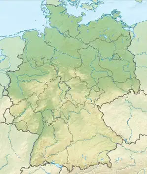
| Géolocalisation sur la carte : Allemagne
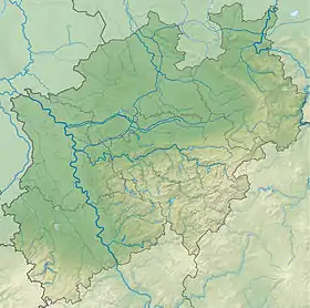
Géolocalisation sur la carte : Rhénanie-du-Nord-Westphalie
| |||
Cet article est issu de Wikipedia. Le texte est sous licence Creative Commons – Attribution – Partage à l’identique. Des conditions supplémentaires peuvent s’appliquer aux fichiers multimédias.