San Alberto (Cesar)
San Alberto est une municipalité située dans le département de Cesar, en Colombie.
| San Alberto | |||
 Blason |
.svg.png.webp) Drapeau |
||
| Administration | |||
|---|---|---|---|
| Pays | |||
| Département | |||
| Fondation | |||
| Alcalde | Robiel Pérez Estupiñan 2008-2011 | ||
| Code DANE | 20710 | ||
| Démographie | |||
| Gentilé | Sanalbertence | ||
| Population | 19 656 hab. (2005[1]) | ||
| Densité | 29 hab./km2 | ||
| Géographie | |||
| Coordonnées | 7° 45′ 48″ nord, 73° 23′ 32″ ouest | ||
| Altitude | 2 600 m |
||
| Superficie | 67 610 ha = 676,1 km2 | ||
| Localisation | |||
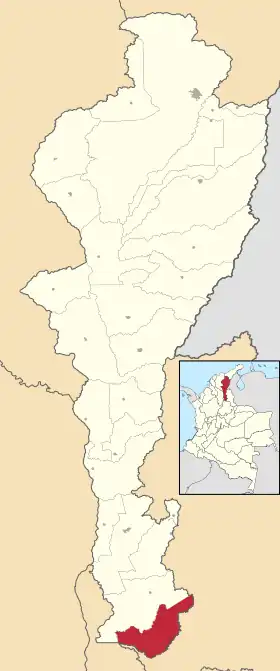 Carte de San Alberto | |||
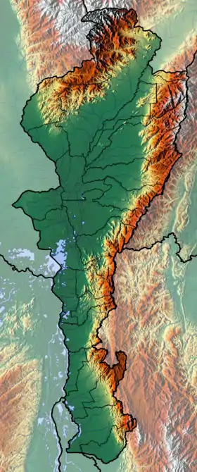
| Géolocalisation sur la carte : Colombie
Géolocalisation sur la carte : Cesar (relief)
| |||
| Liens | |||
| Site web | www.sanalberto-cesar.gov.co | ||

Cet article est issu de Wikipedia. Le texte est sous licence Creative Commons – Attribution – Partage à l’identique. Des conditions supplémentaires peuvent s’appliquer aux fichiers multimédias.