Division de Pune
La Division de Pune est l'une des divisions administratives de l'État indien du Maharashtra.
| Division de Pune, Maharashtra पुणे विभाग | ||
| Administration | ||
|---|---|---|
| Pays | ||
| État | Maharashtra | |
| Chef-lieu | Pune | |
| Fuseau horaire | IST (UTC+5:30) | |
| Démographie | ||
| Population | 23 440 998 hab. (2011[1]) | |
| Densité | 402 hab./km2 | |
| Géographie | ||
| Coordonnées | 18° 31′ 48″ nord, 73° 50′ 24″ est | |
| Superficie | 5 826 800 ha = 58 268 km2 | |
| Localisation | ||
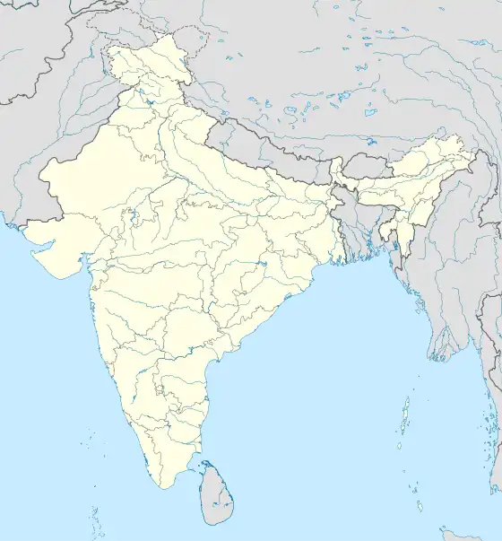
| Géolocalisation sur la carte : Inde
| ||
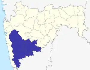
La division de Pune dans le Maharashtra
Description
Elle est constituée des districts suivants :
| District | Centre administratif | Superficie (km2) | Habitants (2001) | Densité (hab./km2) |
|---|---|---|---|---|
| District de Kolhapur | Kolhapur | 7 685 | 3 515 413 | 301 |
| District de Pune | Pune | 15 642 | 9 924 224 | 462 |
| District de Sangli | Sangli | 8 578 | 2 583 524 | 301 |
| District de Satara | Satara | 10 484 | 2 796 906 | 267 |
| District de Solapur | Solapur | 14 845 | 3 849 543 | 259 |
Cet article est issu de Wikipedia. Le texte est sous licence Creative Commons – Attribution – Partage à l’identique. Des conditions supplémentaires peuvent s’appliquer aux fichiers multimédias.