District de Sangrur
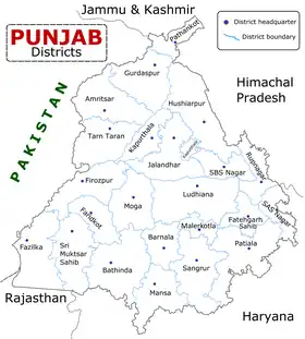
Le district de Sangrur est un des 22 districts de l'état indien du Pendjab.
| District de Sangrur ਸਂਗਰੂਰ ਜ਼ਿਲਾ | ||
| Administration | ||
|---|---|---|
| Pays | ||
| État | Pendjab | |
| Chef-lieu | Sangrur | |
| Index postal | 148001 | |
| Fuseau horaire | IST (UTC+5:30) | |
| Démographie | ||
| Population | 1 998 464 hab. (2001) | |
| Densité | 398 hab./km2 | |
| Géographie | ||
| Coordonnées | 30° 14′ nord, 75° 50′ est | |
| Altitude | 232 m |
|
| Superficie | 502 100 ha = 5 021 km2 | |
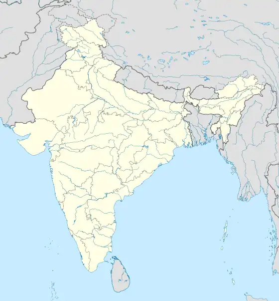
| Localisation | ||
| ||
| Géolocalisation sur la carte : Inde
| ||
| Liens | ||
| Site web | sangrur.nic.in | |
Cet article est issu de Wikipedia. Le texte est sous licence Creative Commons – Attribution – Partage à l’identique. Des conditions supplémentaires peuvent s’appliquer aux fichiers multimédias.