District de Chhatarpur
Le district de Chhatarpur (hindi : छतरपुर जिला) est un district de l'état du Madhya Pradesh, en Inde
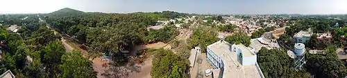
Ville de Chhatarpur.
| District de Chhatarpur छतरपुर जिला | ||
| ||
| Administration | ||
|---|---|---|
| Pays | ||
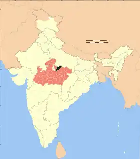
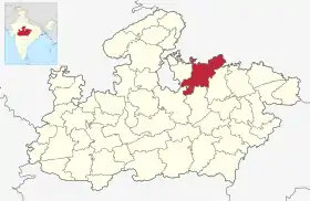
| État | Madhya Pradesh | |
| Chef-lieu | Chhatarpur | |
| Fuseau horaire | IST (UTC+5:30) | |
| Démographie | ||
| Population | 1 762 375 hab. (2011[1]) | |
| Densité | 203 hab./km2 | |
| Géographie | ||
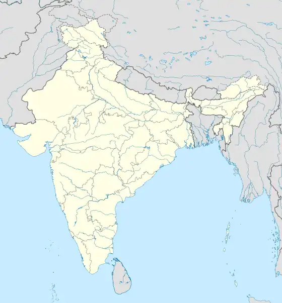
| Coordonnées | 24° 54′ 57″ nord, 79° 34′ 56″ est | |
| Superficie | 868 700 ha = 8 687 km2 | |
| Localisation | ||
| ||
| Géolocalisation sur la carte : Inde
| ||
| Liens | ||
| Site web | http://Chhatarpur.nic.in | |
Géographie
Au recensement de 2011, sa population compte 1 762 375 habitants[1] pour une superficie de 8 687 km2[1]. Son chef-lieu est la ville de Chhatarpur.
Liens externes
Liens internes
Références
- (en) « Chhatarpur District : Census 2011 data », Gouvernement de l'Inde (consulté le )
 Portail de l’Inde
Cet article est issu de Wikipedia. Le texte est sous licence Creative Commons – Attribution – Partage à l’identique. Des conditions supplémentaires peuvent s’appliquer aux fichiers multimédias.