Cagayancillo
Cagayancillo est une ville de 6e classe de la province de Palawan aux Philippines. Selon le recensement de 2015 elle compte 6 285 habitants.
| Cagayancillo (fil) Bayan ng Cagayancillo | ||
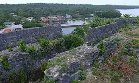 Le fort de Cagayancillo | ||
| Administration | ||
|---|---|---|
| Pays | ||
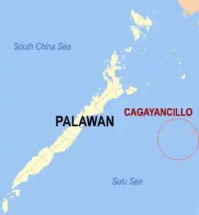
| Région | Mimaropa | |
| Province | Palawan | |
| Barangays | 12 | |
| Maire | Sergio S. Tapalla | |
| Code postal | 5321 | |
| Démographie | ||
| Population | 6 285 hab. (2015) | |
| Densité | 238 hab./km2 | |
| Géographie | ||
| Coordonnées | 9° 34′ 37″ nord, 121° 11′ 50″ est | |
| Superficie | 2 639 ha = 26,39 km2 | |
| Localisation | ||
| ||
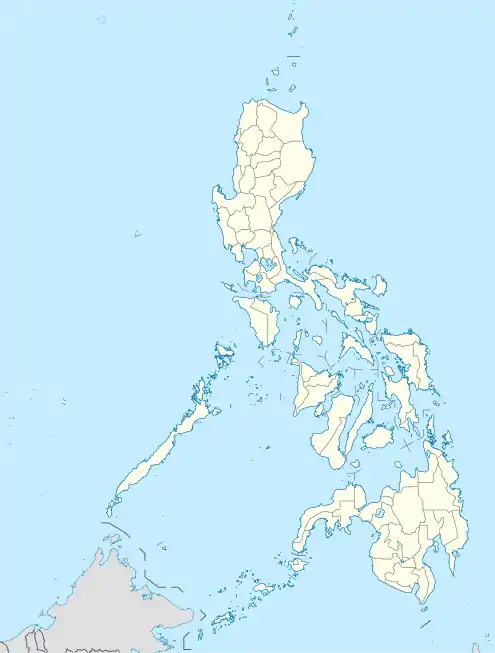
| Géolocalisation sur la carte : Philippines
| ||
Barangays
Bataraza est divisée en 12 barangays.
- Bantayan
- Calsada
- Convento
- Lipot North
- Lipot South
- Magsaysay
- Mampio
- Nusa
- Santa Cruz
- Tacas
- Talaga
- Wahig
Démographie
| Année | Habitants | Évolution |
|---|---|---|
| 1970 | 3 598 | - |
| 1975 | 4 023 | 2,26 % |
| 1980 | 3 992 | -0,15 % |
| 1990 | 5 082 | 2,44 % |
| 1995 | 6 717 | 5,37 % |
| 2000 | 6 348 | -1,20 % |
| 2007 | 6 506 | 0,34 % |
| 2010 | 7 116 | 3,32 % |
| 2015 | 6 285 | -2,34 % |
 Portail des Philippines
Cet article est issu de Wikipedia. Le texte est sous licence Creative Commons – Attribution – Partage à l’identique. Des conditions supplémentaires peuvent s’appliquer aux fichiers multimédias.