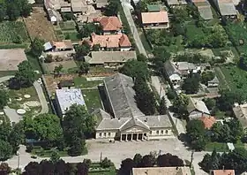
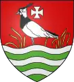
Apátfalva
Apátfalva est un village et une commune du comitat de Csongrád en Hongrie.
| Apátfalva | |||||
| |||||
|
|||||
| Administration | |||||
|---|---|---|---|---|---|
| Pays | |||||
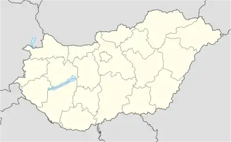
| Comitat (megye) |
(Grande Plaine méridionale) |
||||
| District (járás) |
Makó | ||||
| Rang | Commune | ||||
| Bourgmestre (polgármester) Mandat |
Szekeres Ferenc (Fidesz-KDNP) (2014-2019) |
||||
| Code postal | 6931 | ||||
| Indicatif téléphonique | (+36) 62 | ||||
| Démographie | |||||
| Population | 2 809 hab. () | ||||
| Densité | 52 hab./km2 | ||||
| Géographie | |||||
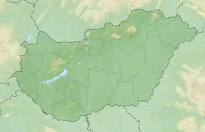
| Coordonnées | 46° 10′ 00″ nord, 20° 35′ 00″ est | ||||
| Superficie | 5 378 ha = 53,78 km2 | ||||
| Divers | |||||
| Collectivités des minorités | Tsiganes, Roumains (1er janv. 2011) | ||||
| Identités ethniques (nemzetiségi kötődés) |
Hongrois 95,5 %, Tsiganes 4,8 %, Roumains 0,5 % (2001) | ||||
| Religions | catholiques 81,2 %, grecs-catholiques 0,7 %, réformés 4,0 %, évangéliques 0,3 %, autres confessions 0,5 %, sans religion 5,6 % (2001) | ||||
| Liens | |||||
| Site web | www.apatfalva.hu | ||||
| Sources | |||||
| Office central de statistiques (KSH) | |||||
| Élections municipales 2014 | |||||
Références
 Portail de la Hongrie
Cet article est issu de Wikipedia. Le texte est sous licence Creative Commons – Attribution – Partage à l’identique. Des conditions supplémentaires peuvent s’appliquer aux fichiers multimédias.